Projects
A major focus for Bell Geographic is managing geospatial databases for clients to help integrate, store, edit, analyze, share and display geographic data. We offer specific expertise with tribal GIS as well as government, public and private enterprises.
Here are a few of our projects, which include trails, forestry, range, water rights and water quality programs, as well as custom map creation for outdoor recreation and tourism.

Tribal Governments
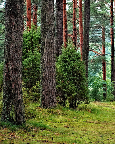
For the Mescalero Apache, we developed and managed a tribal GIS department to support planning efforts for fire danger mitigation, sustainable forest harvesting, and to archive tribal data. This included creating spatial water, range management and wellhead protection plans using story maps. We also built a forest operations dashboard to help the tribe and BIA communicate a range of project activities and accomplishments.
For your tribe, we can establish workflows and operations dashboards for staff to update and maintain cultural resources, emergency protocols, forest and range resources, urban/wildland interfaces, housing, utilities, water and land resources, and water rights. Or we can do it for you when you don’t have staff.
Bureau of Indian Affairs
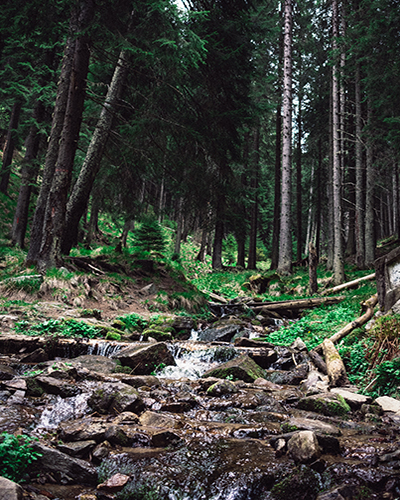
We provided GIS services for the Bureau of Indian affairs and worked with BIA foresters and tribal natural resource specialists to develop a Spatial Forest Management Plan using story maps.
Soil & Water Conservation Districts
Bell Geographic has extensive experience working with Soil and Water Conservation Districts –in data collection and management, and presenting achievements in an automated, interactive, visual way for stakeholders.
We can manage your geospatial data and collection services, train employees and volunteers, and help you communicate to the public and your funders exactly what you do to improve your land management activities.
Upper Hondo Soil & Water Conservation
Not for Profits
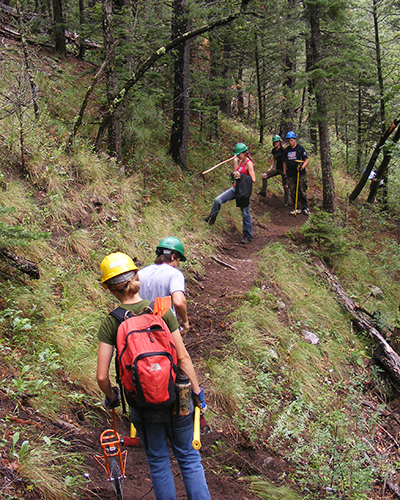
Environmental organizations and local Youth Conservation Corps are responsible for new trailblazing and maintaining existing pathways. Let Bell Geographic set up your field data collection – including photos and video – to sync up when you get back to the office. Demonstrate your progress and accomplishments easily and visually for funders, stakeholders and the community.
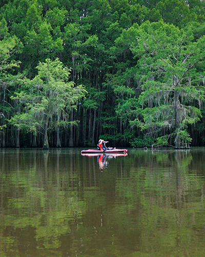
Outdoor Recreation and Tourism
Need recreation, hike/bike trails and tourism maps? We love doing these kinds of maps for towns, counties and outfitters because we spend a lot of time outdoors, too.
We’ve made maps – print, online or downloadable for use without internet connectivity – for the Village of Ruidoso, Cloudcroft, Carlsbad and Eddy County, and created the ultimate map for anglers – the New Mexico Fishing Map: Santa Fe – Taos areas.
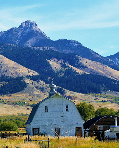
Asset Management
Municipalities, ranches, farms and vineyards need accurate maps – for their water and utilities, fields and fences and other environmental assets. Don’t let this information languish in someone’s head. Whether GIS needs assessments, emergency evacuation maps, or other infrastructure and asset mapping, Bell Geographic has both the experience and expertise you need to map critical infrastructure.
We worked with the Village of Capitan to provide management and data collection services focused on their water system. We’ve conducted GIS needs assessments, and created utility and evacuation maps for the Village of Ruidoso. We’ll set you up to collect your own data so you can upload it into your asset management plan, too.