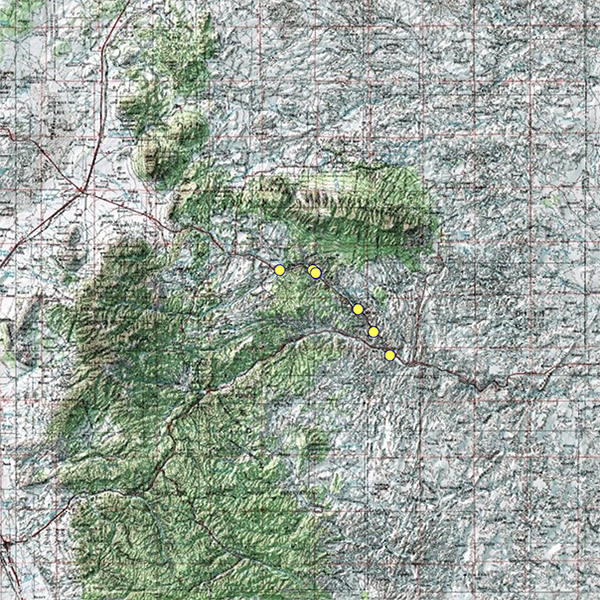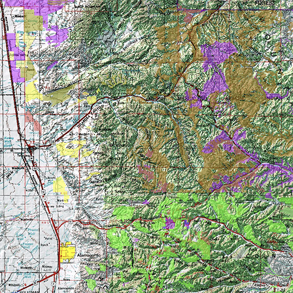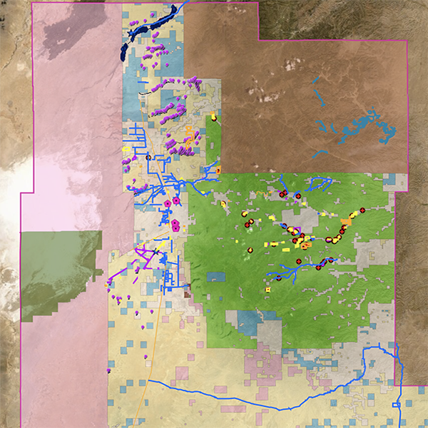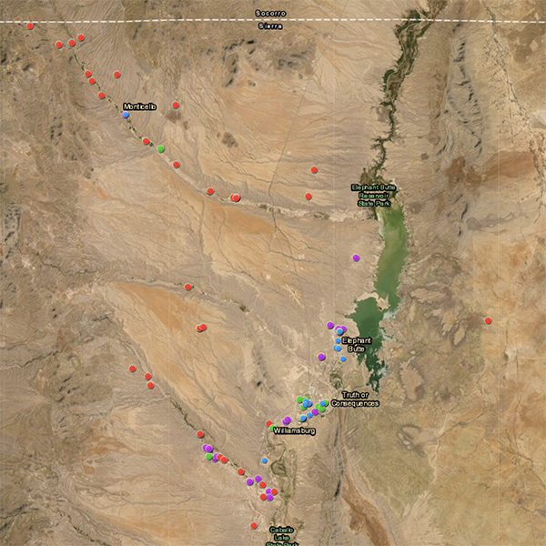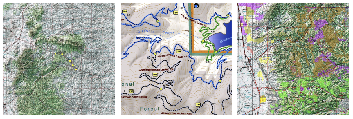
Tell your story with maps.
Collaborative, affordable Custom Mapping & GIS Consulting for government, non-profit, private-sector and tribal decision makers.
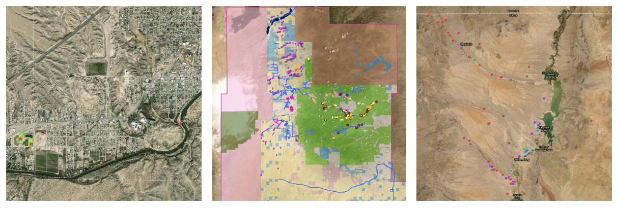
Intelligent. Interactive.
Using today’s geographic information systems (GIS), we design your GIS around your planning and reporting requirements. We architect information systems into useful formats that communicate your story to key audiences.
Due to the quality of his work, the Tribe now authorizes contracts to Earl Bell of Bell Geographic through our sole source authorization that recognizes the value of established relationships in the delivery of this work. ~ Thora Padilla, Mescalero Apache Tribe
Maps matter.
In an increasingly digital world, data rules. Although collection has never been easier, not everyone knows how to see the story in the data. Make your message clear with Bell Geographic Interactive Mapping, a perfect way to illustrate your progress.
A trusted partner.
We create systems for collecting, managing and presenting your map data that build trust in your organization’s capabilities, leading to informed decision-making and management. We make and manage maps that benefit your community.

